Service phone
0086-755-83244037
The worldwide Global Positioning System (GPS) network was designed by the US Department of Defense, as a way to track one’s exact location anywhere in the world.
The GPS network consists of 24 navigation satellites, which orbit the planet at a height of approximately 12,000 miles. These satellites each orbit the earth twice every 24 hours, and they are set up in such a way that they can send signals to any location on the planet, whether it be land or sea, and no matter how remote.
The 24 GPS satellites are continuously beaming positioning data, which can be picked up by GPS Devices on the ground, and used to calculate exact latitude and longitude coordinates. Depending on the device that is used, this data can be accurate to within a few meters.Some GPS Devices also provide advanced features such as dynamic mapping and detailed driving directions.
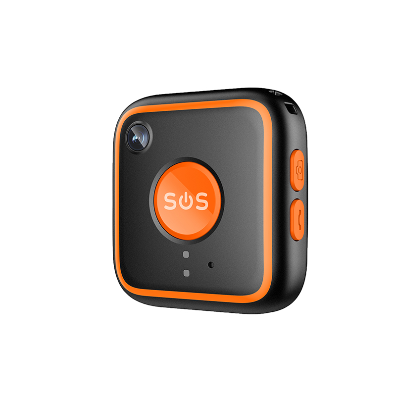
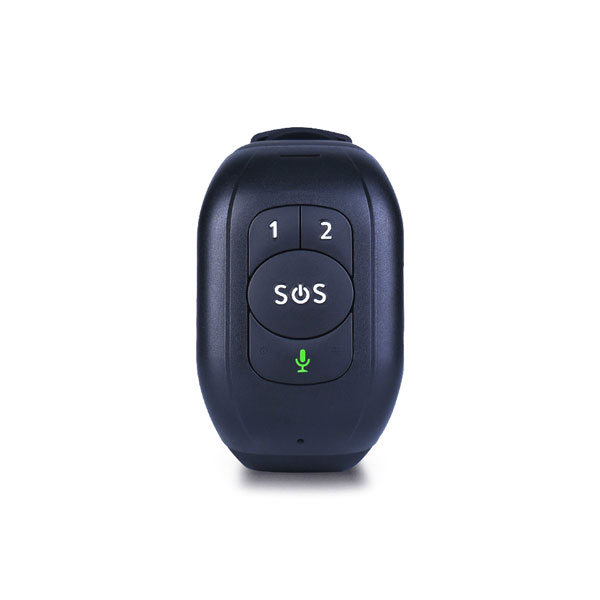
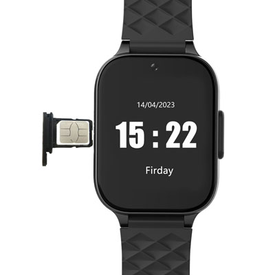
Despite the common misconception that GPS-enabled devices are prohibitively expensive, and only useful in scientific and military operations, many of these useful gadgets are primarily designed with the consumer in mind. For example, GPS handhelds can be carried around on one’s pocket, and are very useful for a number of functions. Certain companies, including Nextel GPS, have even begun integrating GPS technology with common consumer products such as mobile phones.
If you have any questions, please contact us!
Contact
Contact number:0086-755-83244037
Mobile:0086-13717148901
E-mail:[email protected]
Copyright © 2009 - 2023 SHENZHEN REACHFAR TECHNOLOGY COMPANY LIMITED. All rights reserved.