How does a GPS tracker locate target?
Date:2018-11-06 Clicks:0
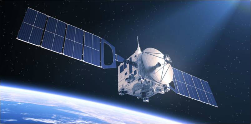
Global Positioning System (GPS) is a worldwide radio-navigation system formed from the constellation of 24 satellites and their ground base stations. The Global Positioning System is mainly funded and controlled by the U.S Department of Defense (DOD). The system was initially designed for the operation of U. S. military. But today, there are also many civil users of GPS across the whole world, who are allowed to use the Standard Positioning Service without any kind of charge or restrictions.
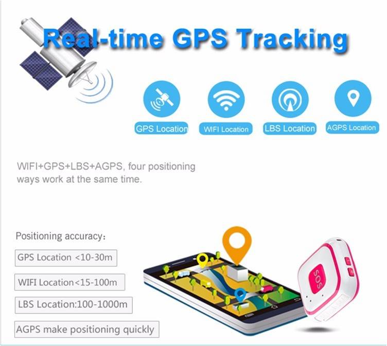
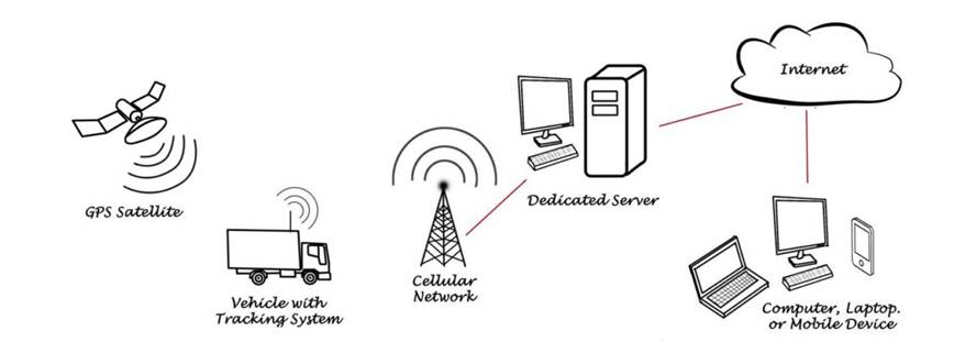
A GPS tracking system uses the Global Navigation Satellite System (GNSS) network which incorporates a range of satellites using microwave signals that are transmitted to GPS devices to give information on location, vehicle speed, time and direction. So, a GPS tracking system can potentially give both real-time and historic navigation data on any kind of journey.
GPS provides special satellite signals, which are processed by a receiver. These GPS receivers not only track the exact location but can also compute velocity and time. The positions can even be computed in three-dimensional views with the help of four GPS satellite signals. The Space Segment of the Global Positioning System consists of 27 Earth-orbiting GPS satellites. There are 24 operational and 3 extra (in case one fails) satellites that move round the Earth each 12 hours and send radio signals from space that are received by the GPS receiver.
Actually, the tracker is sending a link data to the server which is provided by the tracking service company. This is to make sure the tracker is always connecting with the server for location and data transfer.
There are two ways of locating. One is passive locating, the other is active locating.
Passive locating always refers to location uploading interval time, which means the frequency of location data uploading. Usually, there are 4 modes: every 1 minute, 10 minutes, 1 hour and 12hours. When the tracker is preset with any of these modes, the tracker will send GPS satellite searching request accordingly to the GPS satellites above it with the help of AGPS.
AGPS is a system of assisting the device to search out the nearest satellites with the help of nearby cellular network towers.
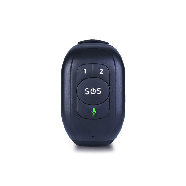
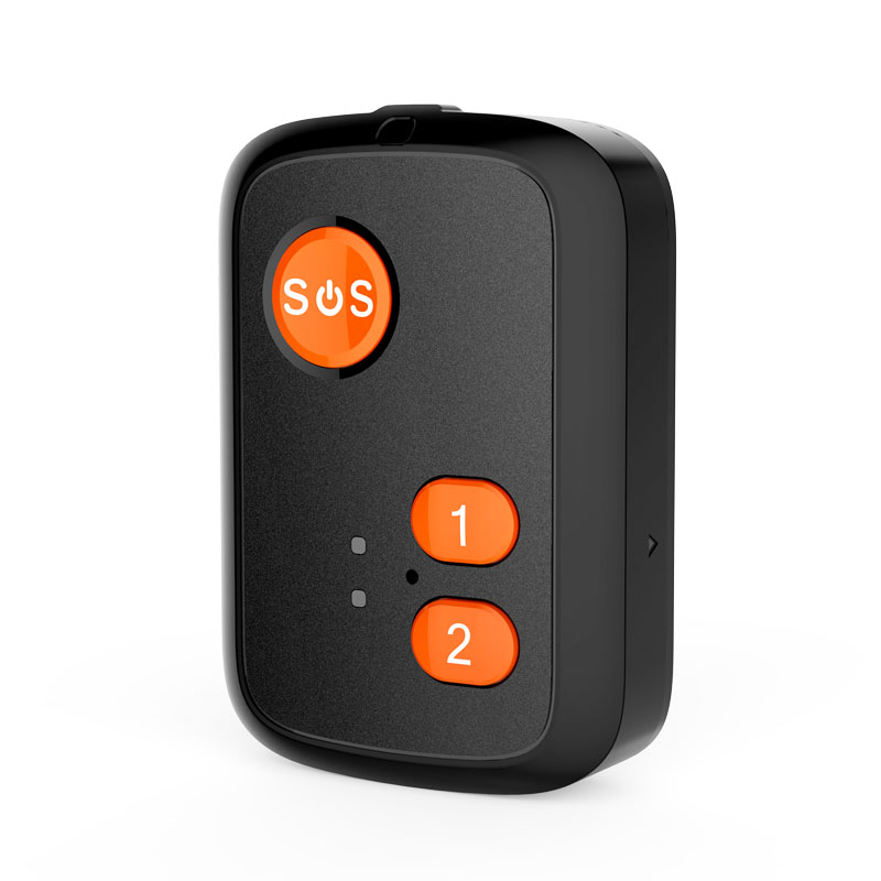
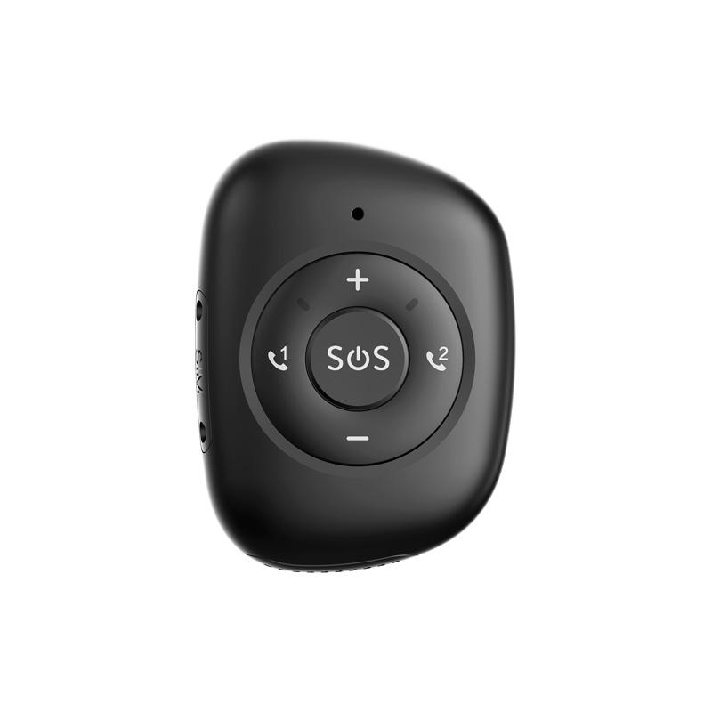
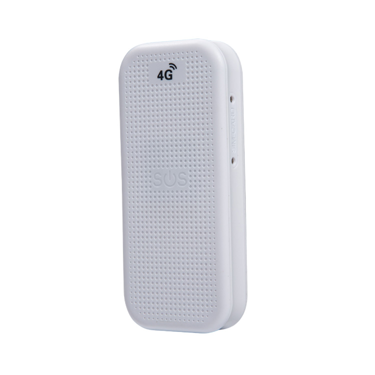
Active locating is triggered by the tracker holder, when it is urgent, the holder can press SOS button on the tracker. Therefore, the tracker sends out a satellite searching request to the GPS satellites above once the satellites found, the location data will store in the tracker and uploaded to the server.
After that, the server will analyze the location in maps and feedback to the tracking platform in website or Applications in mobile.